-
SEARCHX
-

-
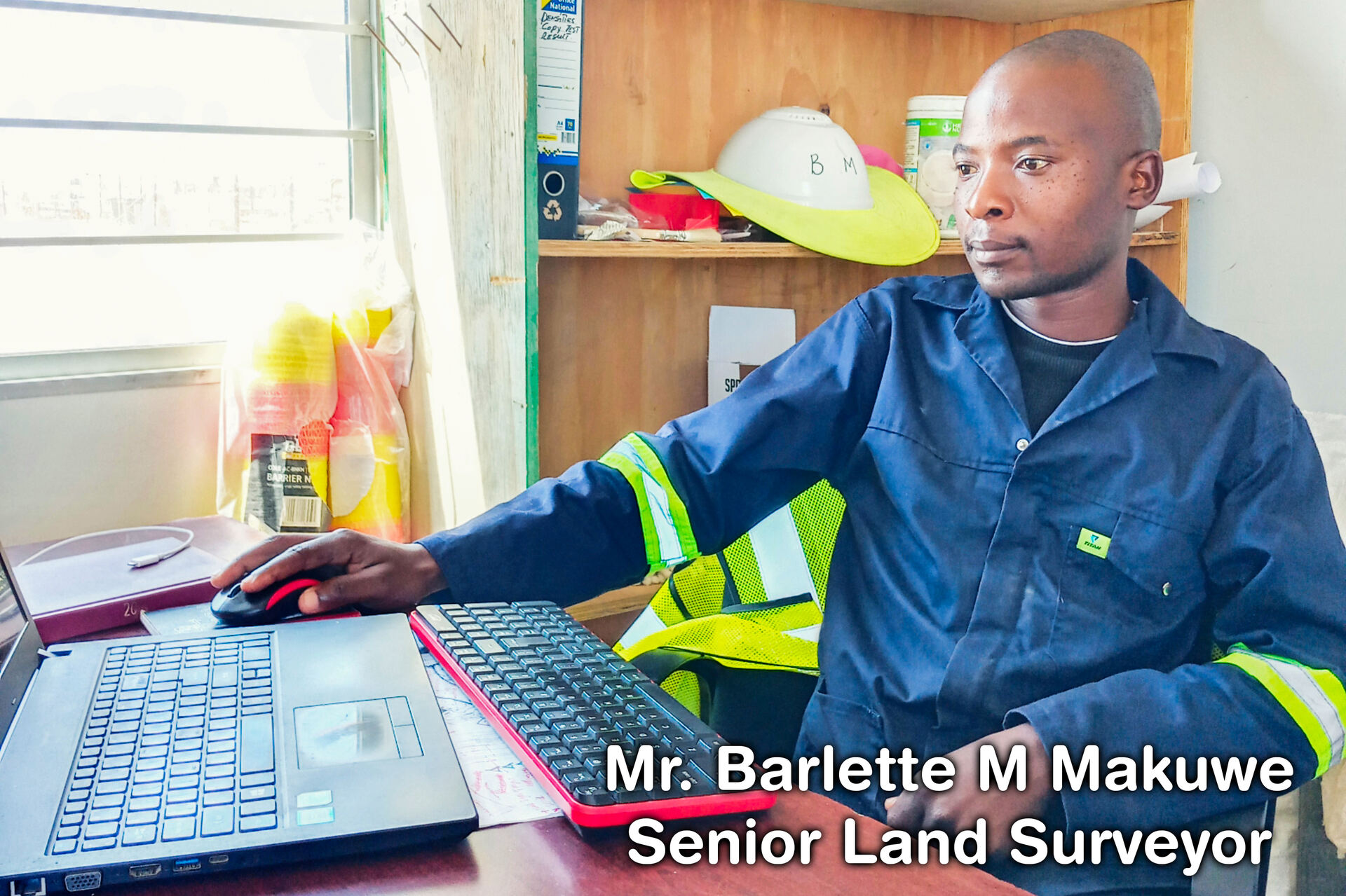
 Mr. Barlette M MakuweSenior Land Surveyor
 -
Phone
Kesheshimwe Engineering Surveyors
in Okahandja, Namibia-
-

-
Mobile
+264 (85) 7345446
Mr. Barlette M Makuwe
-
-
-

-
WhatsApp
+264 (85) 7345446
Mr. Barlette M Makuwe
-
-
-
-
Mobile
+264 (81) 7225602
Mr. Barlette M Makuwe
-
-
-
-
Mobile
+264 (81) 7207526
Ms. Sithabile Vasutu
-
-
-
-

-
Dune 7 Survey
-
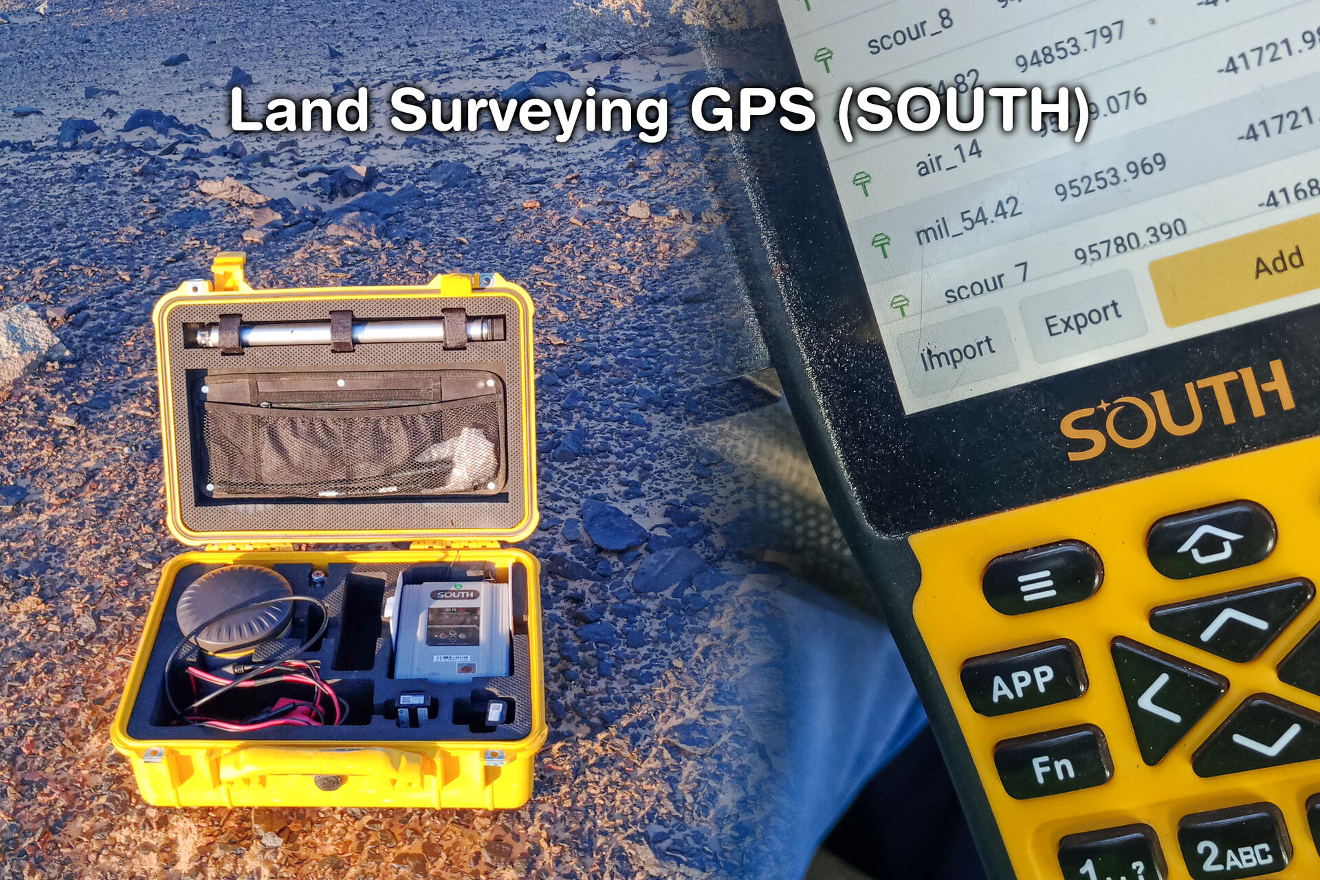
 Land Surveying GPS
 -
Web & Email
Kesheshimwe Engineering Surveyors
in Okahandja, Namibia-
-

-
Facebook
Kesheshimwe Engineering Surveyors
-
-
-

-
Email
keshsurv@kengsurv.com
-
-
-

-
Street Address
Kesheshimwe Engineering Surveyors
-
- Shop 2A
- Maerua Lifestyle Centre
-
- Array
-
Postal Address
-

-
-

-
-
Office Hours
- Kesheshimwe Engineering Surveyors
- in Okahandja, Namibia
Monday - Friday
-
- 08:00am
- -
- 17:00pm
Saturday
-
- Closed
Sunday & Public Holidays
-
- Closed
-
-

-
Payment Terms
Kesheshimwe Engineering Surveyors
in Okahandja, Namibia-
- Cash
- EFT
-
Specializing In
-
-
Accessories
-
General Info
-
Brands
-
Products
-

-
-

-
Categories
-

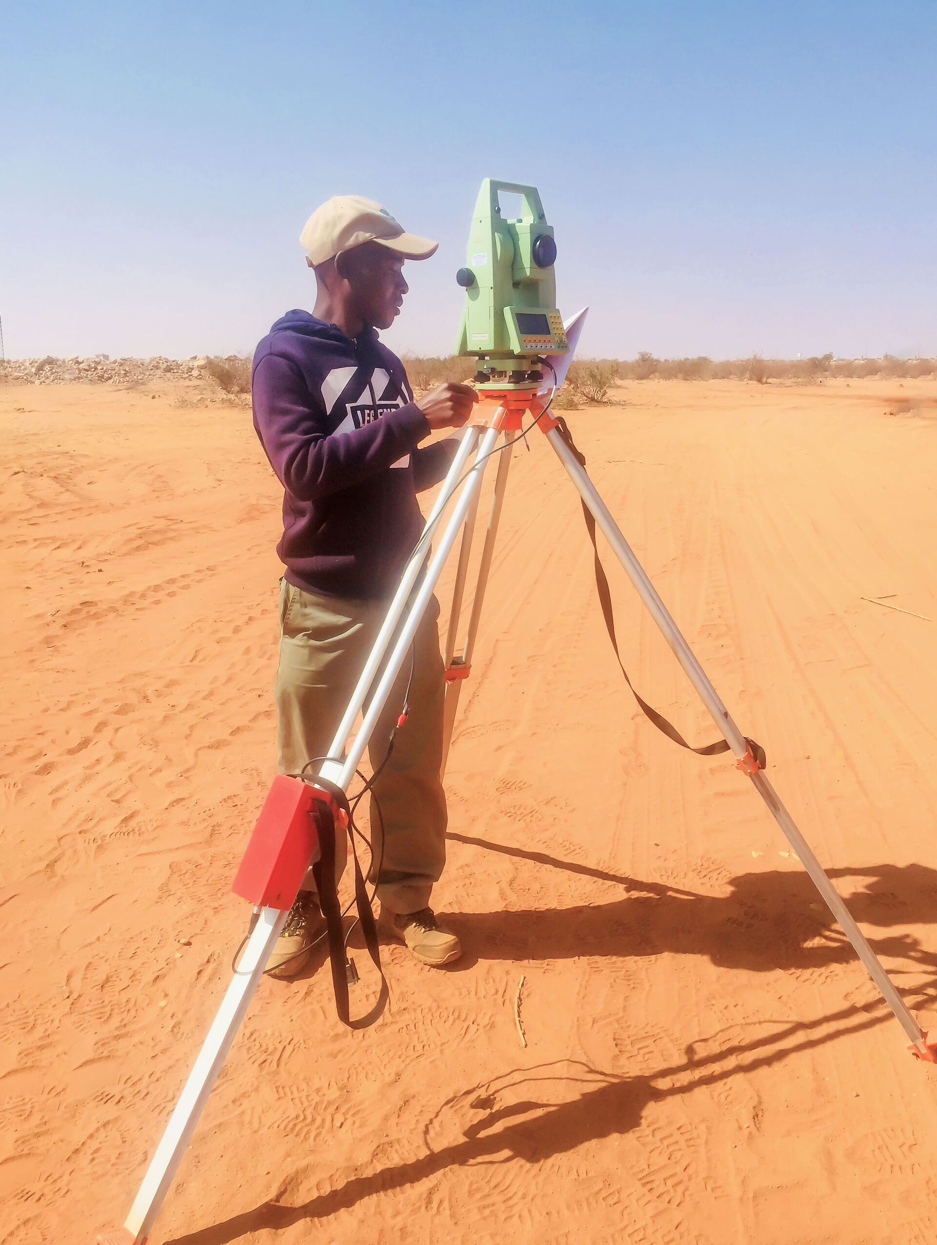
Providing surveying services such as setting out of buildings, roads as well as control surveys - establishing control positions for construction purposes. Erf peg identification - ( beacon relocation) and more.